
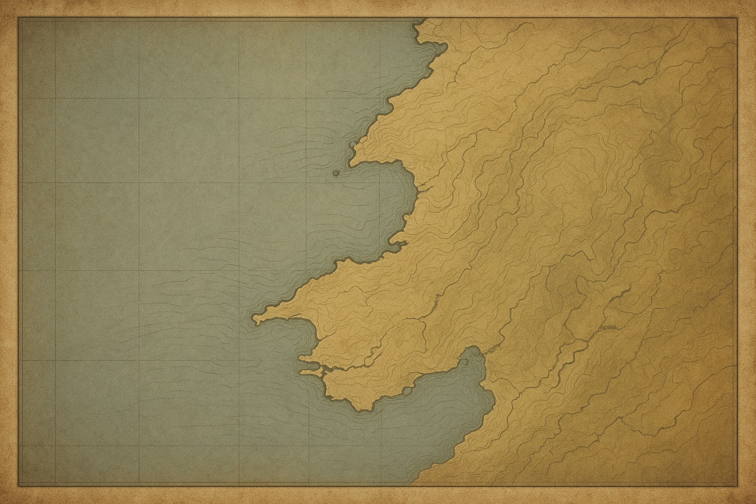
Illustrative northern coast preserved towers map
Cape Alder Station
Brine Point Cluster
North Watch Reach
Haven Shoal Towers
Use this page to locate surviving northern-coast lighthouses, compare preservation status, and understand each marker before opening a tower record.
Marker shape identifies tower type, helping you distinguish offshore lights from harbor, point, and river-mouth stations at a glance.
Marker fill indicates preservation status, so you can quickly see which towers are fully restored, stabilized, or still under active conservation.
Select a marker to open dates, keeper notes, and source references, then use nearby clusters to continue along the coast in historical sequence.
Main exploration destination
An archival-style orientation map for preserved lighthouse towers, with grouped labels and preservation status cues for quick reading before deeper exploration.
Cape Alder Station
Brine Point Cluster
North Watch Reach
Haven Shoal Towers
Coastal lighthouse sites are living heritage places—approach each visit with care for access rules, weather, and the structures that remain.